NYC's long dry streak ends this week: one more warm day, then up to 1.75 inches of rain Thursday night into Friday night
Central Park is forecast to hit about 75 degrees Wednesday, near but under the 1975 record. Rain arrives Thursday night and peaks Friday, with the heaviest totals on eastern Long Island.
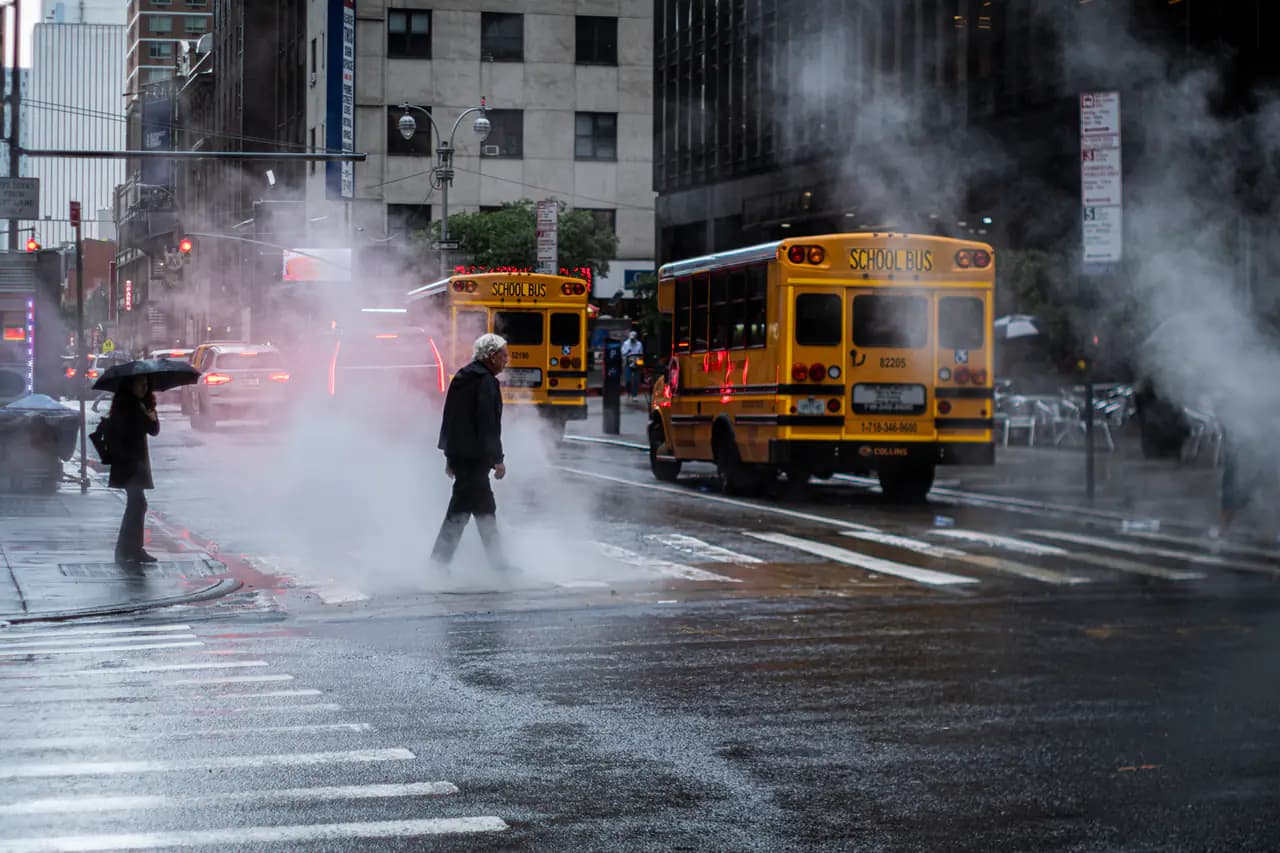
Photo: Hans-B. Sickler (Bilderschachtel Photography) / Wikimedia Commons · CC BY 2.0
- The National Weather Service forecasts a high near 75 in Central Park on Wednesday and near 73 on Thursday, 10 to 15 degrees above normal. The Nov. 4 record there is 78, set in 1975.
- Showers are likely Thursday night. Friday is the wettest day, with a 90% chance of rain and thunderstorms, and rain likely continues Friday night.
- The NWS forecast for Central Park adds up to roughly 1.1 to 1.75 inches from Thursday night through Friday night. Eastern Long Island could get 2 to 3 inches or more.
- Forecasters expect mostly minor flooding because the ground is dry after little rain since mid-October, but they say basement flooding is possible. The Weather Prediction Center has the city in a marginal risk of excessive rain on Friday.
- The weekend dries out: mostly sunny Saturday (about 64) and Sunday (about 61). ABC7's AccuWeather team expects highs back in the 50s by Monday and Tuesday.
Enjoy Wednesday. The city is in for one more unusually warm, sunny day before a soaking rain arrives at the end of the week. Wednesday should make it 18 dry days in a row, ABC7's AccuWeather team said.
Near-record warmth, but probably no records
A strong ridge of high pressure along the East Coast is keeping temperatures 10 to 15 degrees above normal, and Wednesday is the warmest day, the National Weather Service office in Upton said in its morning forecast discussion. The NWS forecast for Central Park calls for a high near 75 Wednesday and a low around 62 Wednesday night.
That's close to the records, but forecasters expect the highs and lows to stay just under them. Central Park's record high is 78 for Nov. 4 (1975) and 78 for Nov. 5 (1961). The record warm low for Nov. 5 is 64, from 2022. Thursday gets a little cooler, near 73, with more clouds and a south wind off the ocean.
When the rain comes
- Thursday: mostly cloudy, 30% chance of showers. ABC7 says inland areas are more likely than the coast to see a stray shower.
- Thursday night: showers likely (60%), about a tenth to a quarter of an inch.
- Friday: the main event. Rain in the morning, then showers and thunderstorms in the afternoon (90%), about half to three-quarters of an inch. ABC7 expects the steadiest, heaviest rain in the afternoon and early evening, so plan for a wet commute home.
- Friday night: rain likely (70%), another half to three-quarters of an inch.
Added up, the Central Park forecast comes to roughly 1.1 to 1.75 inches from Thursday night through Friday night. Totals rise to the east. The weather service says models agree on at least a 2-to-3-inch swath across eastern Long Island and southeastern Connecticut, with less than an inch just northwest of the city, and the higher-end scenario has 4 to 5 inches on eastern Long Island. The heaviest rain should end by Saturday morning. For reference, Central Park's record rainfall for Nov. 6 is 1.47 inches, set in 1911.
Flooding risk
The federal Weather Prediction Center has the city, Long Island and coastal Connecticut under a marginal risk of excessive rainfall on Friday. Because the ground is dry after little if any rain since mid-October, and because the rain falls over a long stretch, the weather service expects mostly minor flooding, though it said basement flooding is possible. The NWS Hazardous Weather Outlook says bands of heavy rain may hit Friday afternoon and night, but the chance of widespread weather that would trigger warnings is low. No watches or advisories were in effect for the city Wednesday morning.
The weekend
Saturday turns mostly sunny with a high near 64, though the weather service says a few showers could linger while the storm system sits overhead. Sunday looks mostly sunny, near 61. ABC7 expects cooler, breezy air early next week, with highs falling into the 50s by Monday and Tuesday.
- National Weather Service New York, NYArea Forecast Discussion, 7:04 a.m. EST Nov. 4, 2026
- National Weather Service7-day forecast for Central Park, New York
- National Weather Service New York, NYHazardous Weather Outlook, Nov. 4, 2026
- ABC7 New YorkNYC weather: Warm Wednesday | AccuWeather forecast
Every story links to the reporting and records it’s based on. Our editors write each piece from public reporting and official data, and check it against those sources before it’s published.
Comments
0NSynced with CommunityIn CommunityYour comment is also posted to Community with this story attached, so neighbors can find it and reply there too.
No comments yet
Start the conversation — your comment shows up here and in Community for neighbors nearby.