Remnants of Isaias to soak New York City Sunday, with 1 to 2 inches of rain possible
Saturday stays dry. Rain arrives Sunday morning and is heaviest Sunday afternoon and night, just as NJ Transit's Portal Bridge schedules kick in. Monday should clear in time for the Columbus Day Parade.
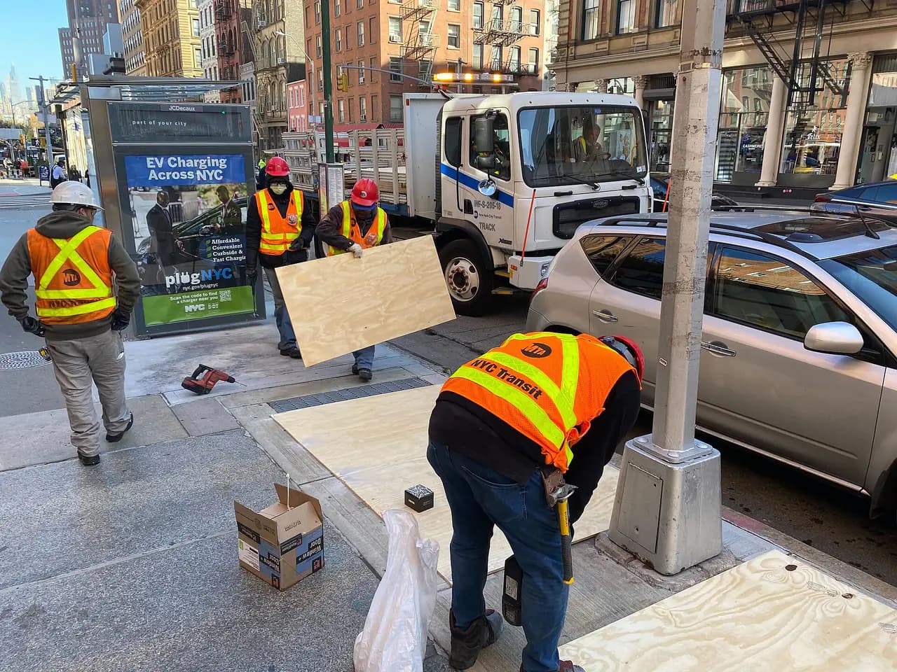
Photo: Ray Raimundi / MTA via Wikimedia Commons · CC BY 2.0
- The National Weather Service forecasts rain in New York City after 8 a.m. Sunday, with a 90% chance of rain through Sunday night and 1 to 2 inches possible overnight alone.
- ABC7's AccuWeather team says the rain comes from the remnants of Hurricane Isaias, with 1 to 2 inches likely across the region and local totals of 2 to 3 inches.
- The heaviest rain is expected Sunday afternoon and evening, when ponding and poor visibility could make travel slow, ABC7 reported. Thunderstorms are possible Sunday night.
- As of early Saturday, the NWS said it did not expect hazardous weather that would meet warning criteria, and no alerts were in effect for the city.
- Monday should start damp and turn partly sunny, with a high near 70, ahead of the Columbus Day Parade on Fifth Avenue at 11:30 a.m.
Related clip
Enjoy Saturday. The remnants of Hurricane Isaias are expected to bring a soaking rain to New York City on Sunday, with the heaviest downpours arriving in the afternoon and evening of the holiday weekend.
The forecast
The National Weather Service's forecast for the city calls for a partly sunny Saturday with a high near 68 and a mostly cloudy night with a low around 60. Rain is expected after 8 a.m. Sunday, with a 90% chance of rain and a high near 67. East winds of 9 to 16 mph could gust as high as 26 mph. The weather service expects a half to three-quarters of an inch of rain during the day.
The bigger totals come Sunday night. The NWS forecast calls for rain, a chance of thunderstorms and another 1 to 2 inches of rain, with northeast winds gusting to 29 mph. Monday, Columbus Day, brings a chance of rain and a slight chance of thunderstorms before 2 p.m., then partly sunny skies and a high near 70.
ABC7's AccuWeather meteorologists say the storm is what is left of Isaias, which made landfall on the Gulf Coast this week as a Category 2 hurricane. They expect 1 to 2 inches of rain across much of the region, with localized totals of 2 to 3 inches where heavier downpours persist, and say the storm's leftover circulation could pass directly over the area, raising rainfall rates and bringing occasional thunder. The station has issued an AccuWeather Alert for the second half of Sunday through Sunday night and reports that the federal Weather Prediction Center put parts of the region under a marginal risk of flash flooding.
How it could affect your weekend
- Sunday travel: ABC7 expects travel to stay manageable in the first half of the day, then slow down in the afternoon and evening as heavy rain, ponding on roads and poor visibility set in.
- NJ Transit: The rain arrives on the first day of NJ Transit's temporary Portal Bridge schedules. Here's what changes for riders through mid-November.
- Columbus Day Parade: The parade steps off from 44th Street and Fifth Avenue at 11:30 a.m. Monday and runs north to 72nd Street until about 3 p.m., amNewYork reported. Rain may linger Monday morning before breaks of sun in the afternoon, ABC7 said.
No warnings, for now
In its hazardous weather outlook issued at 2:28 a.m. Saturday, the NWS office that covers New York City said it did not expect hazardous weather meeting warning criteria from Sunday through Friday. No weather alerts were in effect for the city Saturday morning. Forecasts can change as the storm's track becomes clearer, so check the latest before heading out Sunday.
After the storm, ABC7 expects Tuesday to be the warmest day of the week, near 73, ahead of a cold front, with cooler, brisk air returning Wednesday.
- National Weather Service7-day forecast for New York City
- National Weather Service, New York NY officeHazardous Weather Outlook, Oct. 10, 2026
- ABC7 New YorkAccuWeather: Dry Saturday, then Isaias remnants bring heavy rain Sunday
- amNewYorkNYC Columbus Day Parade returns this Monday. Here's what you need to know.
Every story links to the reporting and records it’s based on. Our editors write each piece from public reporting and official data, and check it against those sources before it’s published.
Comments
0NSynced with CommunityIn CommunityYour comment is also posted to Community with this story attached, so neighbors can find it and reply there too.
No comments yet
Start the conversation — your comment shows up here and in Community for neighbors nearby.