NYC rain Friday, then a cooler sunny weekend: Long Island still sees the heaviest totals
NWS Upton’s Friday morning discussion keeps steady to heavy rain today, heaviest east of the city. Saturday and Sunday turn sunny and cooler; overnight lows fall into the low 50s.
Updated Nov. 6 morning with NWS Upton’s 3:52 a.m. Area Forecast Discussion and the Central Park weekend outlook.
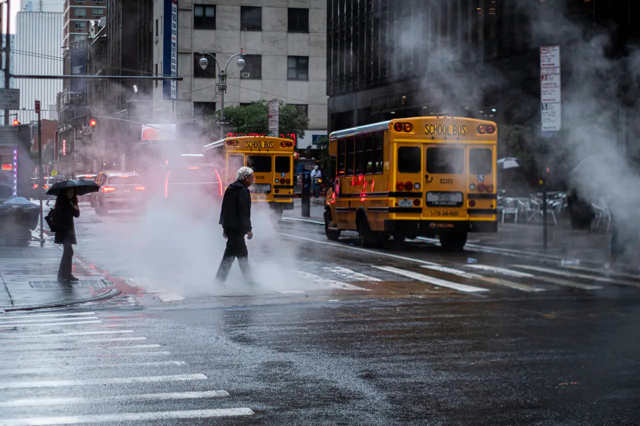
Photo: Hans-B. Sickler (Bilderschachtel Photography) / Wikimedia Commons · CC BY 2.0
- Friday morning AFD (3:52 a.m. ET): first meaningful rain in some time; heaviest stripe still aimed at central/eastern Long Island and southern Connecticut, with lighter but real rain for the NYC metro.
- Central Park forecast: rain and a chance of thunderstorms today, high near 67; leftover shower chances Friday night; Saturday sunny near 63; Sunday sunny near 61.
- Drier, cooler air arrives for the weekend into early next week; temperatures stay slightly above average for early November, with a breezier northwest flow Sunday.
- No flood watch was highlighted for the city core in the morning discussion; eastern sections still carry the higher rainfall-rate risk if heavy cells train.
- Pair with our weekend utility guide for ASP suspensions (Diwali Sunday, Veterans Day Wednesday) and DOT street closures.
Update, Friday morning: rain on schedule, weekend clears
In its 3:52 a.m. Area Forecast Discussion, the National Weather Service office in Upton said wet weather is back, with a period of steady to heavy rain across the eastern half of the region today and possibly into early evening on the far eastern edge. The heaviest axis remains centered on central and eastern Long Island and southern Connecticut. The New York City metro still gets a meaningful soaking — the first in quite some time — but sits west of the deepest stripe.
The Central Park forecast calls for rain and a chance of thunderstorms before mid-afternoon, a high near 67, then a chance of leftover showers Friday night. Saturday turns sunny with a high near 63; Sunday is sunny near 61. Overnight lows fall into the low 50s as dew points drop into the 40s. NWS says temperatures stay slightly above average for early November, with a breezier northwest flow into Sunday.
Aviation guidance for the NYC terminals expects the cold front to clear conditions toward Friday evening, with VFR returning overnight into Saturday.
Earlier: dry streak ends, totals revised down for the city
Thursday’s showers ended a long dry stretch. Earlier NWS discussions had trimmed city totals while keeping 1–3 inches possible on eastern Long Island. CBS New York had flagged Friday as a First Alert Weather Day with flooding possible where the heaviest band sets up. That eastern risk remains the focus; the city core is wet but not the bull’s-eye.
For parking rules, street closures and the Diwali/Veterans Day ASP suspensions over the weekend, see our Friday utility guide.
- National Weather Service (Upton)Area Forecast Discussion — Nov. 6, 2026, 3:52 a.m. ET
- National Weather ServiceCentral Park forecast (gridpoint OKX 33,37)
- CBS New YorkNYC weather today bringing showers, but heavier rain expected Friday
Every story links to the reporting and records it’s based on. Our editors write each piece from public reporting and official data, and check it against those sources before it’s published.
Comments
0NSynced with CommunityIn CommunityYour comment is also posted to Community with this story attached, so neighbors can find it and reply there too.
No comments yet
Start the conversation — your comment shows up here and in Community for neighbors nearby.