Storms with 40 to 60 mph gusts could hit NYC Friday evening before a raw, windy Saturday
A cold front is expected to push a line of strong to severe thunderstorms through the city between about 6 and 9 p.m. Behind it, Saturday's highs drop into the low 50s with gusty northwest winds.
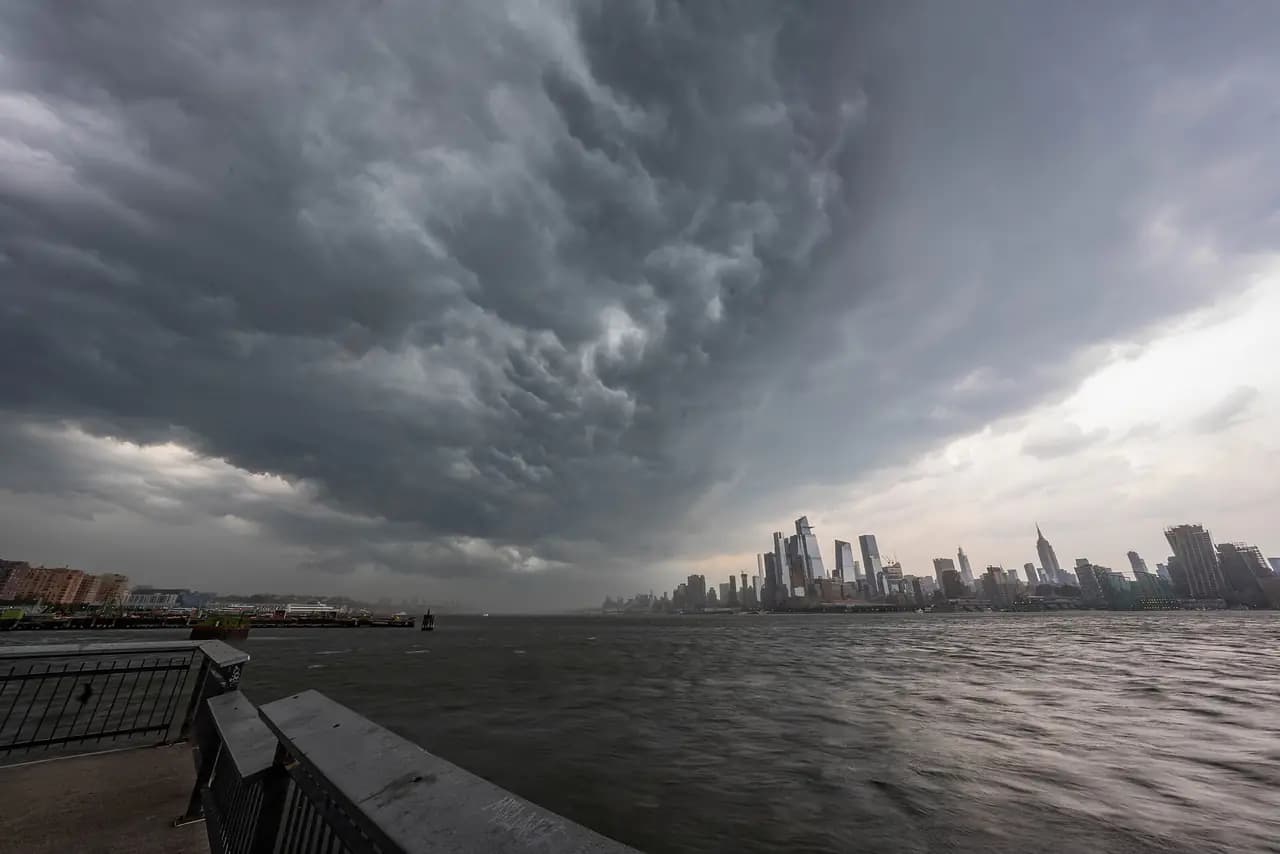
Photo: Anthony Quintano / Wikimedia Commons · CC BY 2.0
- NYC Emergency Management says winds should pick up around 3 p.m. Friday, with the main storm window from 6 to 9 p.m. and possible gusts of 40 to 60 mph that could bring down tree branches (via Gothamist).
- Most of the region is under a Slight risk, level 2 of 5, for severe storms, the National Weather Service says. Damaging wind is the main threat.
- The highest chance of severe storms is in western parts of the city, according to the emergency management office.
- Saturday's high is forecast near 52, falling to about 50 in the afternoon, with northwest winds around 20 mph (NWS). ABC7 says wind chills could feel like the 40s in the morning.
- Sunday turns sunny and calmer, with a high near 56 (NWS).
Related clip
A cold front crossing New York City on Friday is expected to bring a line of strong to possibly severe thunderstorms during the evening commute and dinner hour, followed by a sharp drop in temperatures for the weekend, according to the National Weather Service.
When the storms are expected
The city's emergency management office said winds should start picking up around 3 p.m., with the main storm window from 6 p.m. to 9 p.m. and possible gusts of 40 to 60 mph that "could bring down tree branches," Gothamist reported. The office said the highest chance of severe storms is in western parts of the city and urged people heading out at night to take precautions.
In its Hazardous Weather Outlook, the weather service said a squall line could start moving through between 5 p.m. and 7 p.m. in western sections of the region. The Storm Prediction Center placed most of the area in a Slight risk, level 2 of 5, for severe storms, with the line expected to weaken some as it heads east.
"The main threat being damaging winds," weather service meteorologist John Murray told Gothamist. ABC7 said gusts could top 40 mph in the strongest storms and that heavy downpours are also possible.
Then a cold, blustery Saturday
Thursday's highs reached close to 80, according to Gothamist. Friday is forecast to top out near 74 before the front arrives, and the weather service expects a tenth to a quarter of an inch of rain during the day and a similar amount Friday night.
Saturday will feel very different. The weather service forecast calls for a slight chance of a shower before 8 a.m., then mostly sunny skies, a high near 52 and temperatures slipping to around 50 in the afternoon, with northwest winds around 20 mph. ABC7 said highs will run about 20 degrees lower than Friday's and that wind chills could make the morning feel like the 40s. Saturday night's low is forecast around 42.
Winds ease on Sunday, which the weather service expects to be sunny with a high near 56. Forecasters told Gothamist that next week should bring highs in the low to mid 60s and mostly clear skies.
On the water
The weather service has a Gale Watch for ocean waters from Sandy Hook, N.J., to Montauk Point from Saturday morning through Saturday afternoon.
- GothamistNYC's whiplash weather continues into weekend with heavy winds, chilly temps, NWS says
- ABC7 New YorkStrong PM storms could pack powerful winds before dramatic cooldown
- National Weather Service7-day forecast for New York, NY
- National Weather Service New York, NYHazardous Weather Outlook, Oct. 16, 2026
Every story links to the reporting and records it’s based on. Our editors write each piece from public reporting and official data, and check it against those sources before it’s published.
Comments
0NSynced with CommunityIn CommunityYour comment is also posted to Community with this story attached, so neighbors can find it and reply there too.
No comments yet
Start the conversation — your comment shows up here and in Community for neighbors nearby.