Severe Storms Batter NYC Area, Flash Flooding Cripples Connecticut
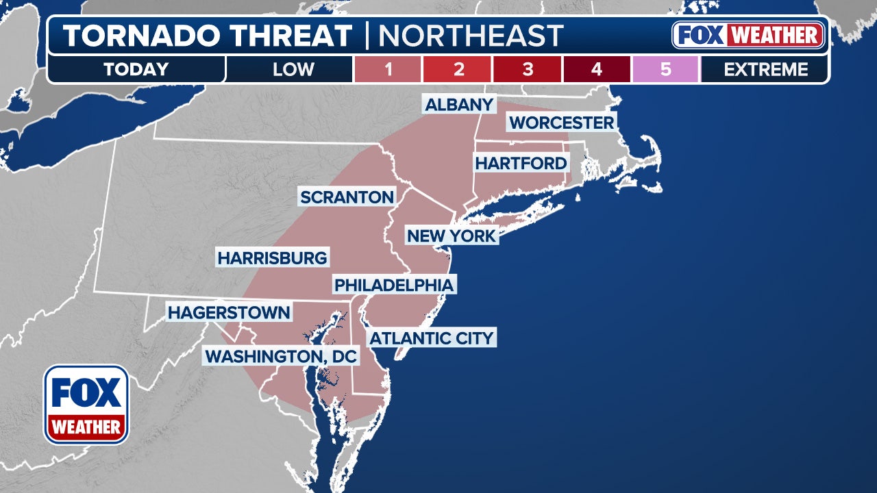
A line of severe thunderstorms swept across the Northeast and mid-Atlantic on Sunday, bringing damaging wind gusts, large hail, and torrential rain. The National Weather Service issued a Severe Thunderstorm Watch for the Interstate 95 corridor between New York and Virginia, stretching from NYC to Washington D.C.
The storms unleashed significant flash flooding in western Connecticut, particularly in Stamford and Danbury, forcing road closures and water rescues. A Flash Flood Emergency was declared for central Fairfield and northern New Haven counties, as rainfall rates reached 2-3 inches per hour on top of already heavy rain.
Connecticut Floods Cause Chaos
The flooding caused widespread damage, with reports of a mudslide in Danbury that resulted in a gas leak and evacuations. Images of submerged streets and flooded homes in Connecticut highlighted the severity of the situation.
Severe Weather Threat Continues
While the most intense storms were expected to subside by late Sunday evening, a renewed severe weather threat looms for Monday in many of the same areas impacted on Sunday. The FOX Forecast Center predicts scattered thunderstorms across the Northeast and mid-Atlantic, with potential for damaging winds up to 70 mph and hail as large as ping pong balls.
Stay informed about the latest weather updates and be prepared for potential flooding and severe storms.


Comments
Join Our Community
Sign up to share your thoughts, engage with others, and become part of our growing community.
No comments yet
Be the first to share your thoughts and start the conversation!